Prevent the Destruction!
exci’s Advanced AI Detects Wildfires Automatically Within Minutes in Real-Time
How
exci AI
works
exci's AI-Powered Bushfire/Wildfire Detection: Fast, Accurate, Reliable
exci’s AI-driven system detects wildfires within minutes by analysing real-time images from strategically placed high-resolution cameras. This enables instant alerts for rapid response, protecting lives, property, and precious ecosystems.
In addition to camera coverage, exci integrates satellite data for wide-area monitoring, nighttime detection, and tracking fires in remote regions. By combining ground-based and satellite insights, exci delivers fast, reliable, and accurate wildfire detection — empowering emergency teams to act quickly and stay ahead of disaster.

Early Wildfire Detection = Advanced AI + Cameras + Satellites
Camera-Based Bushfire Detection for High-Risk Areas
exci’s advanced AI-powered wildfire detection system is camera-agnostic, meaning it seamlessly integrates with various camera types, including fixed-position cameras and PTZ (Pan-Tilt-Zoom) cameras. This flexibility allows users to deploy customised wildfire monitoring solutions based on specific risk areas and operational needs.
Ideal for High-Risk Wildfire Zones
exci’s real-time AI fire detection system is particularly valuable in areas where early detection is critical:
✔ Wildland-urban interface zones – Where residential areas meet forests, increasing the risk of rapid fire spread.
✔ National parks & conservation areas – Protecting biodiverse ecosystems and endangered wildlife from fire destruction.
✔ State forests & commercial plantations – Ensuring proactive fire monitoring for industries that rely on forests and natural resources.
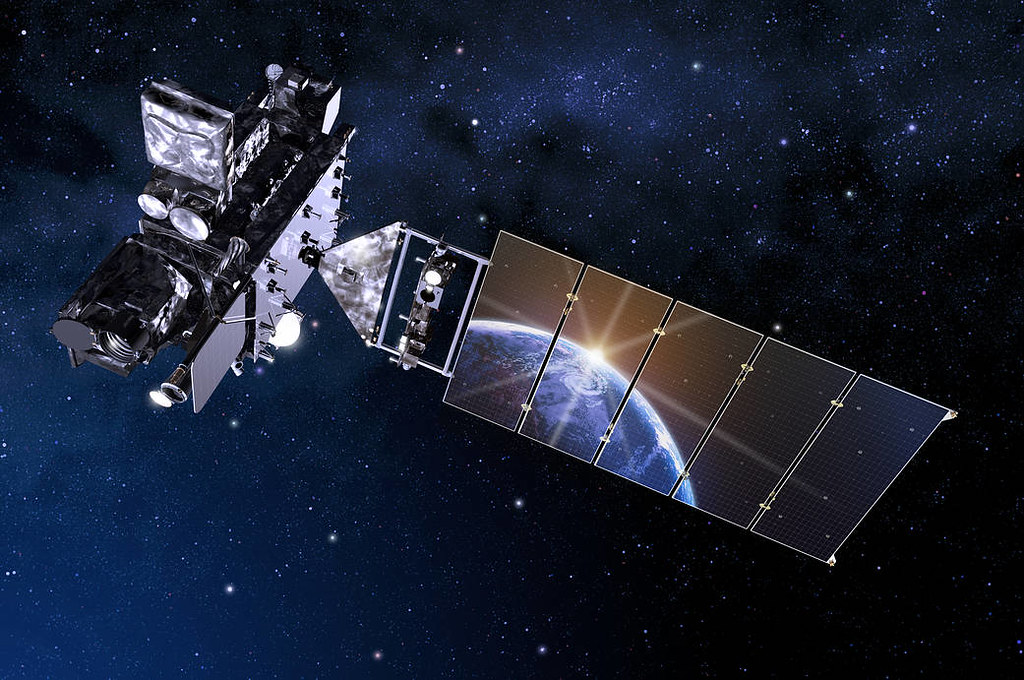
Satellite-based Wildfire Monitoring
While satellite technology is invaluable for tracking and monitoring wildfires and predicting their paths, it has limitations in delivering real-time data. However, exci has achieved one of the best latency rates for satellite data and is offering the fastest access and processing time for existing geostationary assets. exci’s patented technology uses proprietary algorithms and methods of processing satellite data.
To address satellite data’s limitations, exci combines ground-based camera data with information from geostationary and polar-orbiting satellites to detect bushfires quickly and accurately.
While our ground-based cameras offer rapid detection during daylight hours, satellites excel in providing extensive coverage, monitoring remote areas, detecting fires at night, and operating under various weather conditions.
System Performance
During the 2021 Californian fire season, exci’s AI processed over One Billion Images from ground-based cameras as well as analysed more than 500,000 Satellite Images (30GB per day). The system monitored over 130 Million acres from Mexico to Canada covering California, Nevada, Oregon, Idaho, and Washington and parts of Australia. The exci system issued 8,672 notifications. Reports from California indicated that exci’s AI-wildfire detection technology detected 66% of fires within a minute, 95% within 5 minutes, and nearly 100% within 10 minutes with a near-zero rate of false positives.
In Australia, exci’s AI-bushfire system monitors an expansive network that spans over 40 million acres, including Victoria, New South Wales, Queensland and Tasmania.
A comprehensive assessment of our development team revealed that since the launch of our system, we have successfully detected an astounding 180,000 fires and counting.
This remarkable achievement has had a profound impact, safeguarding not just our clients’ valuable assets but also fostering the protection of our communities and the preservation of our ecosystems.
Our team’s unwavering commitment to excellence significantly enhanced our system’s efficiency and precision. By optimising the average detection time to a mere one minute, we have revolutionised the landscape of wildfire detection and established a new benchmark for rapid response and mitigation. This accomplishment firmly solidifies our position as pioneers in the field.
User interface
Electronic notifications
As soon as a fire is detected by either a ground-based camera or a satellite, electronic notifications are sent directly to designated users via SMS or email.
Map alerts
Our web-based map interface displays all detection information in real-time, integrating data from both cameras and satellites. This map is an ideal tool for operations centers, such as fire stations and emergency services, providing a comprehensive overview of fire detection coverage. Users can access individual camera feeds for remote fire assessment, and the map is also available on mobile platforms for on-the-go monitoring.
API Integration for Seamless Data Access
The raw detection data from Exci’s AI-powered wildfire detection system is processed and made available via an API, allowing for easy integration with existing GIS or other mapping systems. We offer flexible data delivery in multiple formats with customizable parameters, ensuring that your platform has the most accurate and up-to-date wildfire detection information available.